Call a local advisor
+86 186 1196 4400Email our team
[email protected]Tour Beijing Journal
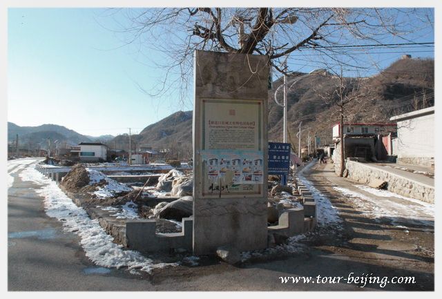
Changyucheng Village is named after one of the famous military city...
Changyucheng Village is named after one of the famous military city circling an important pass of the Great Wall called "Changyucheng", which literally means "长峪城 - Long Valley City". Bordering Hebei Province, Changyucheng Great Wall boasts to have one of Beijing's highest Great Wall towers at the sea-level of 1400 meters with stunning views.
The ancient Changyucheng military walled city was set up 500 years ago in Ming Dynasty to accommodate the garrison manning the pass as well the nearby sections of the Great Wall. If the soldiers stationed on the Great Wall on the high mountain spotted invaders, the main troops in the pass city would be dispatched there to man the defenses.
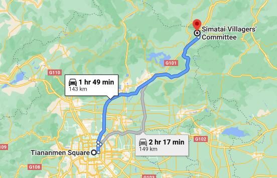
Changyucheng Village is located in Changping District, approxi.100km northwest of the city center of Beijing.
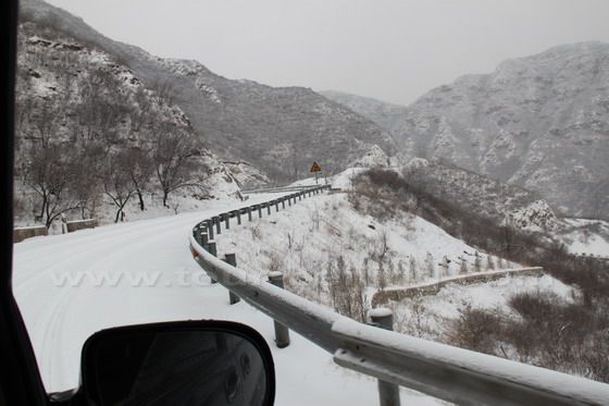
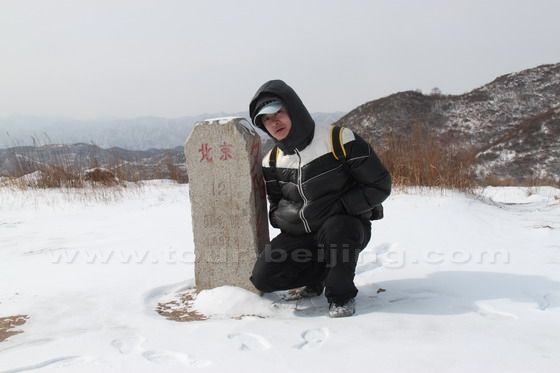
On Feb 13, 2011, with my co-worker, Xiao Hao, we explored the ancient village Changyucheng and hiked the Great Wall near the village despite of the snowfall,a frist stop on our 5-day Great Wall tour. We write the following travel tips for you to plan your own excursion to Changyucheng.
So, getting off Jingzuang Highway at Chenzhuang (Nankou) Exit 36 陈庄(南口)36出口, follow your nose north, then turn left at the Chenzhuang Bridge (陈庄桥). Crossing under the bridge, then immediately turn right (north) and drive along the provincial road till you come across a fork – Dongdajie Lukou of Nankou Town (南口镇东大街路口), then you turn left (southwest ) on Nanyan Road(南雁路).
Continue to drive along Nanyan Road (南雁路), passing Liucun Town (流村镇), Mapaoquan Village (马刨泉村), then turn north and get to Changyucheng Village (长峪城村)
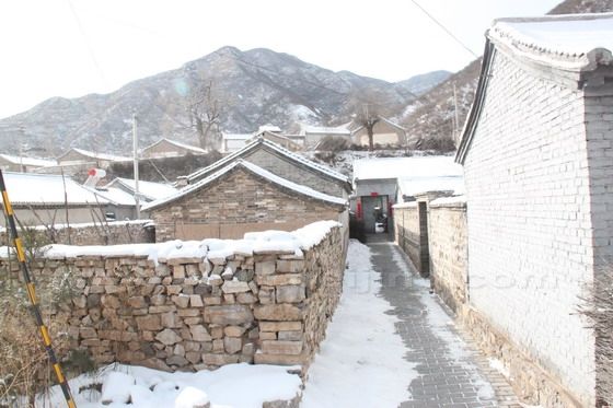
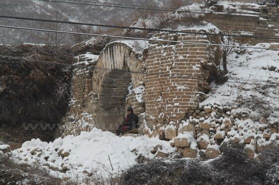
The ancient city wall in front of the village, embrasures and the defense inner town are still visible. The old gate is still there. On the west of the village and on the high platform, there is the Yongxing Temple with a history of over hundreds of years. In addition to Yongxing Temple. If you are lucky, you can enjoy local farmers singing and dancing.
Walking north from Changyucheng Village for 1.5km, and reach the foot of the mountain, where we start to climb up.
Hiking up, not far, in the middle of the hill, you will see a small reservoir. The reservoir is as large as a school playground with its headwater coming from the mountain. So the view here is stunning with water passing through the forest. Some travelers just stop here BBQ, picnic and fishing. But at the time of our hiking, the reservoir is frozen with different views from other seasons.
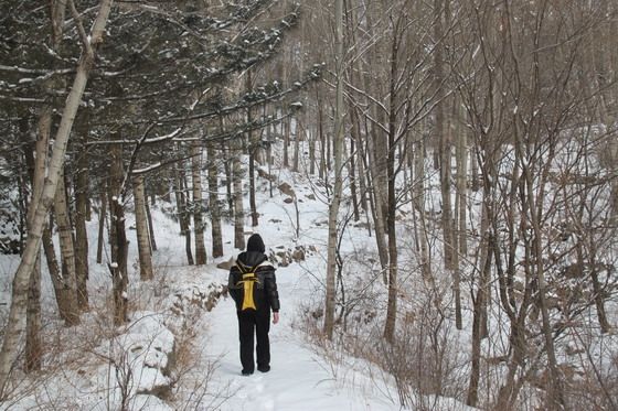
North of the reservoir, there is a small forest with tall trees. In summer, they offer good shade.
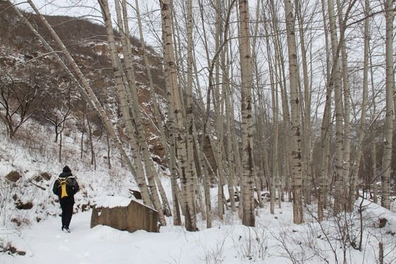
It is a passage through the forest with trees high up and dirt road on our feet as if you are walking in an enclosed corridor, hence "Jungle Corridor". The mountain atmosphere here is quite strong with good environment.
Before you reach the meadow, you have the most difficulty part of the hike, the most energy consuming. Most travelers will be feel dog-tired and panting.
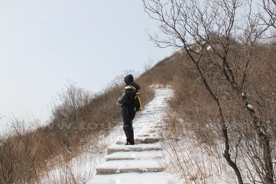
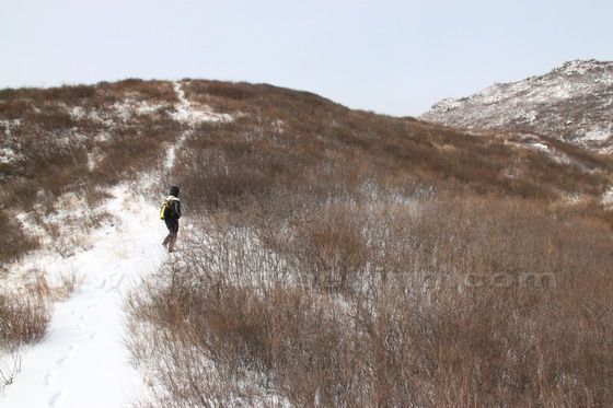
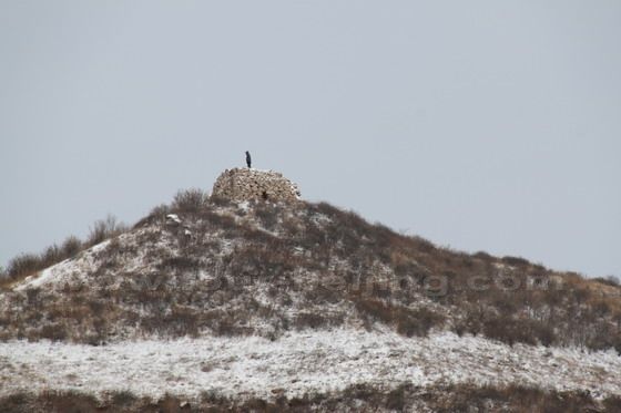
From the meadow or the big platform, you can see a round stone Mound on the mountain top. Hiking from the stone table up to the high stone mound, you can see the Great Wall snaking on the mountain range.
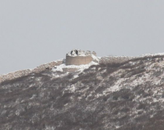
The watch tower is said to be the highest elevation of the watch towers in Beijing. The second tower is round, which is one of the five round watch towers in Beijing.
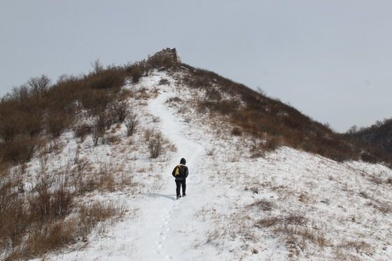
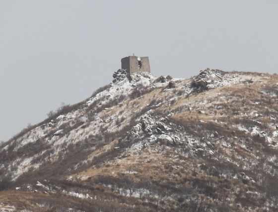
So if you are still energetic, you may walk extra half hour and reach the watch tower on your right side, locally known as "high-rise." with the altitude about 1,400 meters. The Great Wall here extends in a shape of "V", to the northeast leading to Badaling Great Wall and northwest to Hebei Province.
In the northwest of the Great Wall, for the second watch tower with a round base, is said to be one of the five circular watch towers in Beijing, locally called "the Round Building".
If good visibility, you can have have a panorama view of the Quanting reservoir in daytime and overlook the colorfully lit city of Beijing in the evening.
The whole hiking takes approx. 4 hours, extra hour needed if you walk to the highest watch tower, locally known as "high-rise tower".
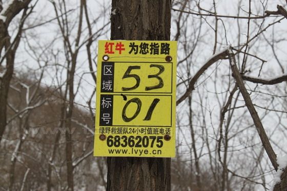
Emergency Call during Changyucheng hiking
Share a question or note for this guide. Comments are reviewed before publishing.
Hand-picked routes matched from this article's destination clues, tags, and categories.
Use these attraction notes to connect nearby sights with tours, destination guides, and planning articles.
Continue planning with practical Beijing guides selected from similar places, themes, and travel questions.
Subscribe to receive Beijing travel ideas and tour updates.