Call a local advisor
+86 186 1196 4400Email our team
[email protected]Tour Beijing Journal
Plan your Tibet travel? Langkazi County (also known as Langkazi County and...
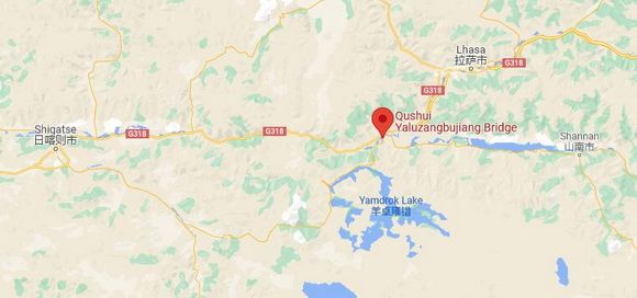
Nagarzê County ( also called Langkazi or Nangartse County) is located in the north of the middle Himalaya Mountains, bordering Bhutan. Langkazi County lies in a basin surrounded by high mountains in four sides with average altitude of over 4500m.
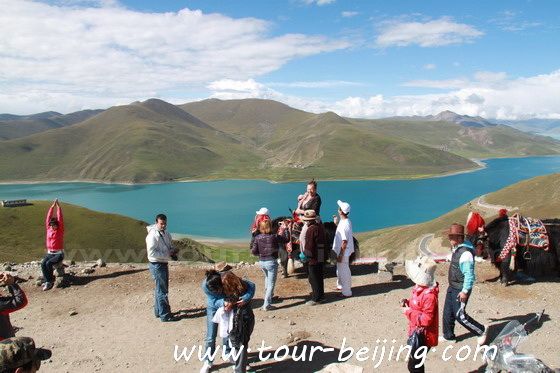
Nagarzê in Tibetan means “white nose tip, indicating the snow capped mountains in the town. There are 6 mountains higher than 6000m with Noijin Kangsang being the highest 7,206m.
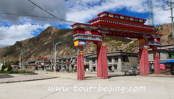
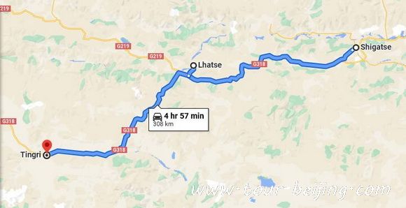
Langkazi (Nangartse, or Nagarze) is a small town with basic accommodations and a few restaurants. Most foreign visitors would drive another two hours to Gyantse for lunch.
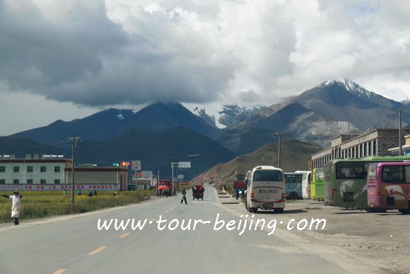
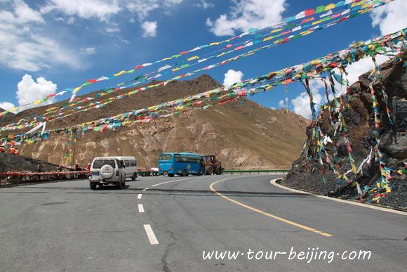
To go to Gyantse from Langkazi (Nagarze County), you have to climb over Karola Pass (5042m). Karola Pass is the divided line between Gyantse County and Langkazi County.
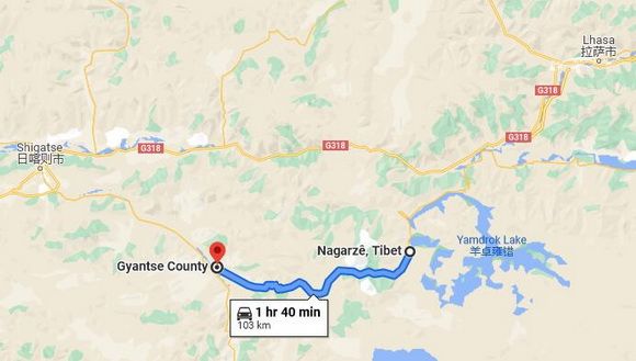
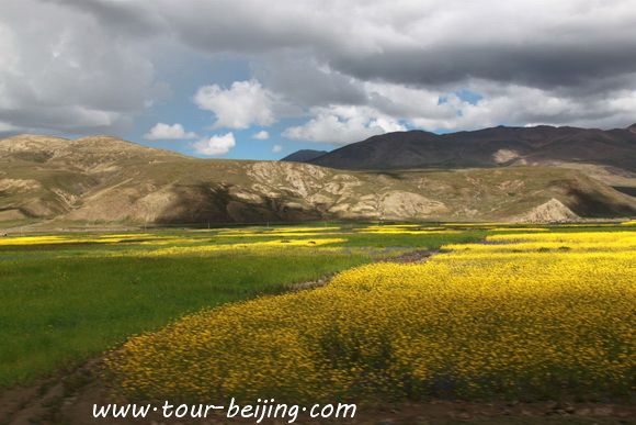
Now follow our bus driving on the magnificent scenic road from Nagarze to Gyantse.
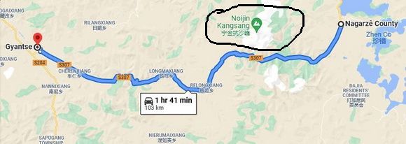
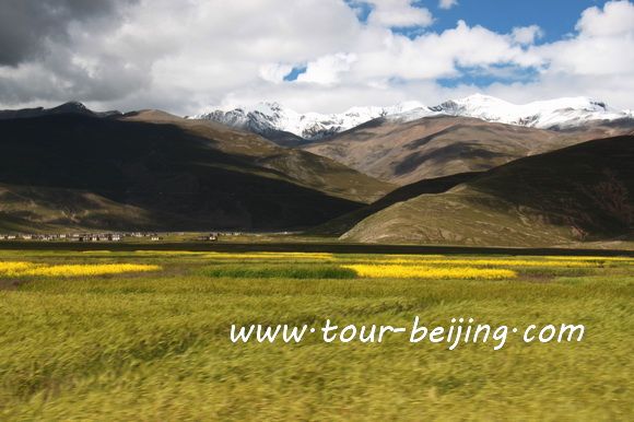
We drive along the provincial highway No.307 and at the border between Nagarze County and Gyantse County lies the Noijin Kangsang.
Noijin Kangsang is the highest peak ( 7,206m) of Lhagoi Kangri mountain range (拉轨岗日山) in the Tibet Autonomous Region in China. It is also one of the four great snow mountains in the middle of Tibet. It lies between the Yarlung Tsangpo River, Yamdrok Lake and the Himalayas mountain range.
The best time for mountaineering for Noijin Kangsang Peak is from April to May or September to October. On April 28, 1986, Sang Zhu, Bian Ba, Jia Bu and other 12 members of the Chinese Tibet mountaineering team reached the summit for the first time along the southwest ridge route from the southern slope of the peak.
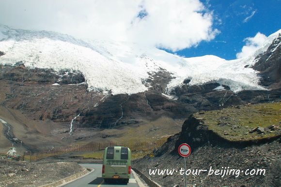
There are about 116 glaciers around the Ningjin Anti-sand peak, covering an area of 118.82 square kilometers, and ice and snow often collapse. The Karola Glacier (卡若拉冰川) is the largest of these, measuring 9.4 square kilometers.
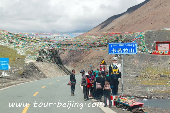
After leaving the downtown of Nagarze County, we first cross the 5042-meter Karola Pass and come under the glacier tongue of the Karora Glacier.
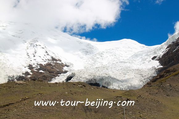
The front edge of the glacier tongue is 5560 meters above sea level, and the place where you can see the Karola Glacier is about 5400 meters above sea level. It is a suspended glacier formed after the Noijin Kangsang peak glacier drifting southward.
If you don’t want to go the do-it-yourself route and prefer the hassle-free escorted tours, here are some options for guided tours to Lhasa and Tibet:
Share a question or note for this guide. Comments are reviewed before publishing.
Hand-picked routes matched from this article's destination clues, tags, and categories.
Use these attraction notes to connect nearby sights with tours, destination guides, and planning articles.
Continue planning with practical Beijing guides selected from similar places, themes, and travel questions.
Subscribe to receive Beijing travel ideas and tour updates.